Cruised thru the downtown Portsmouth/Norfolk area - the waterside of what we had seen a few days earlier. Past Hospital Point, the Naval Station Norfolk and close up views of all the ships we could not take pictures of on our tour! We then said good-bye to Lois and Mike as they headed into Hampton for a few days and we headed into the Bay.
My magenta line is gone! (the magenta line is just that - a magenta line on the charts that shows you were the Atlantic Intercostal Waterway route is. Just like a street map, and you basically follow the line.) In the Chesapeake Bay, there is no set line/pathway/"street"/road to follow - you have to plot your own. Good thing we had spent some time with the charts the day before plotting courses and locations. We were prepared, but a little piece of the security blanket went away.
Any member of our family remembers Dad turning into Captain Bligh: and the heat and humidity caused him to make a limited appearance today. But with Judie's help and some progress, he went back into hiding.
After 20 miles of running in the open waters of the Bay, we turned into Mobjack Bay and then the Severn River off its south shore. We found (from the software program Active Captain) a nice quiet anchorage. Fixed a "too nice" dinner of pork chops, corn-on-the-cob and sweet potatoes (should have kept it cold and simple meal). Had a few drinks on the bow, and after a cool shower, hit the sack.
Next day we launched the dingy and motored into several creeks to look at houses and property. Saw lots of water fowl, turtles and a wide variety of homes. That afternoon was naps, reading, and re-wire the new fan for a 12 volt plug-in connection.
The morning of the 12th, we awoke to light fog, overcast, and a light wind from the east. The forecasts were for clearing, a partly cloudy sky and our anchorage was expose to the wind from the east, so we decided to head for Deltaville and the Rappahannock River. The first two hours were wonderful as we eased our way back into the Bay. Fog was lifting, wind was 5 mph and we were happy. BUT as soon as we turned northward, with the wind on our beam, the wind began to build and eventually went to 15-20 mph and 4 foot waves. An hour later, the fog decided it had lifted enough and was returning to the surface and visibility went to patchy and 1/4 mile at times. Ok we are making good time rocking and rolling and have seen only one boat all morning. BUT, an hour later the rain decided to join in the fun and the next 1 1/2 hours was a pain in the ass. We got wet thru our fowl weather gear, a little woozy from the rocking and cold and hungry. We had made the decision earlier to stay on the fly-bridge rather than move to the inside steering station because of the better visibility from the fly-bridge. Judie was a real trooper, making, what seemed to be, at least 100 trips below for "stuff" in really poor conditions. She learned how to butt scoot!
About 12:00 we finally made the entrance channel to Dozier's Regatta Point Marina in Deltaville, only to miss a turn to port, and ran softly aground. Simply reversing the engine, increasing the throttle, and being calm got us right off. Got a little help tying up in the rain and as soon as we finished by our selves, the rain stopped, the sun came out, and the words hazy, hot and humid became a reality.
Inch-n-along showed up about an hour later and we all went into town via a courtesy car for a late lunch and a little touring to get acquainted with the town.
Slept like babies.
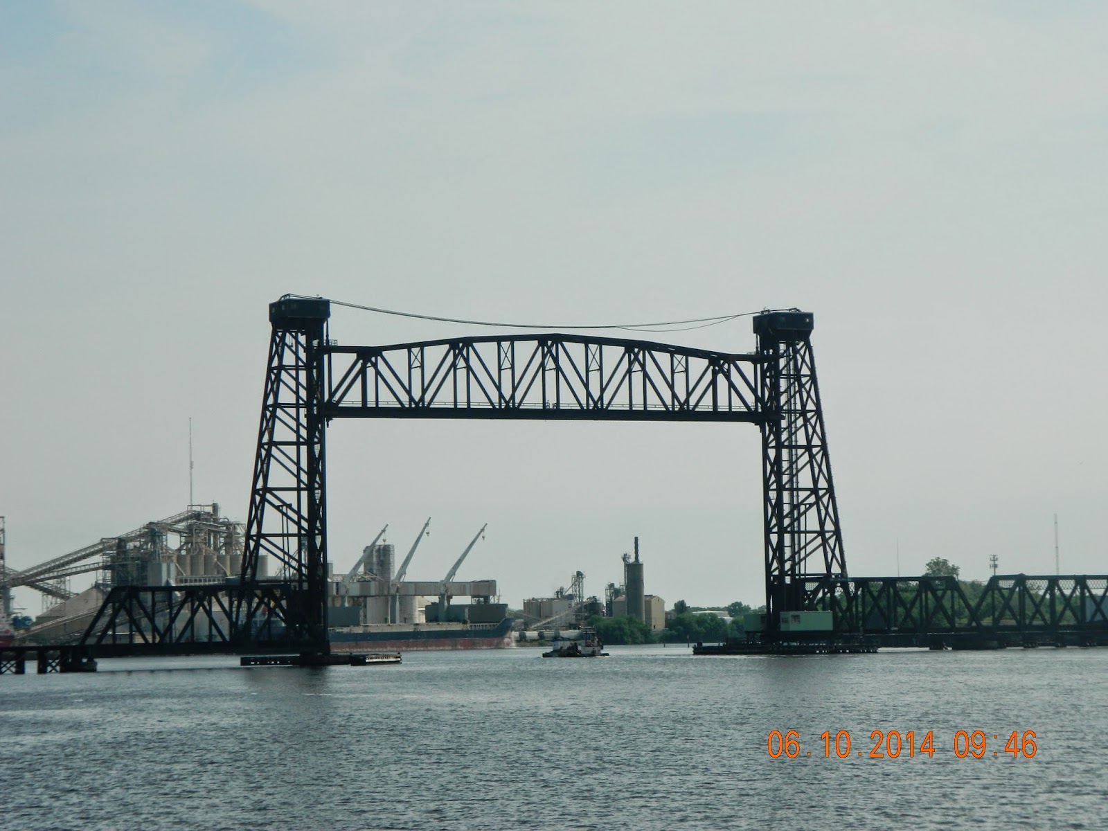 |
| An open railroad lift-bridge |
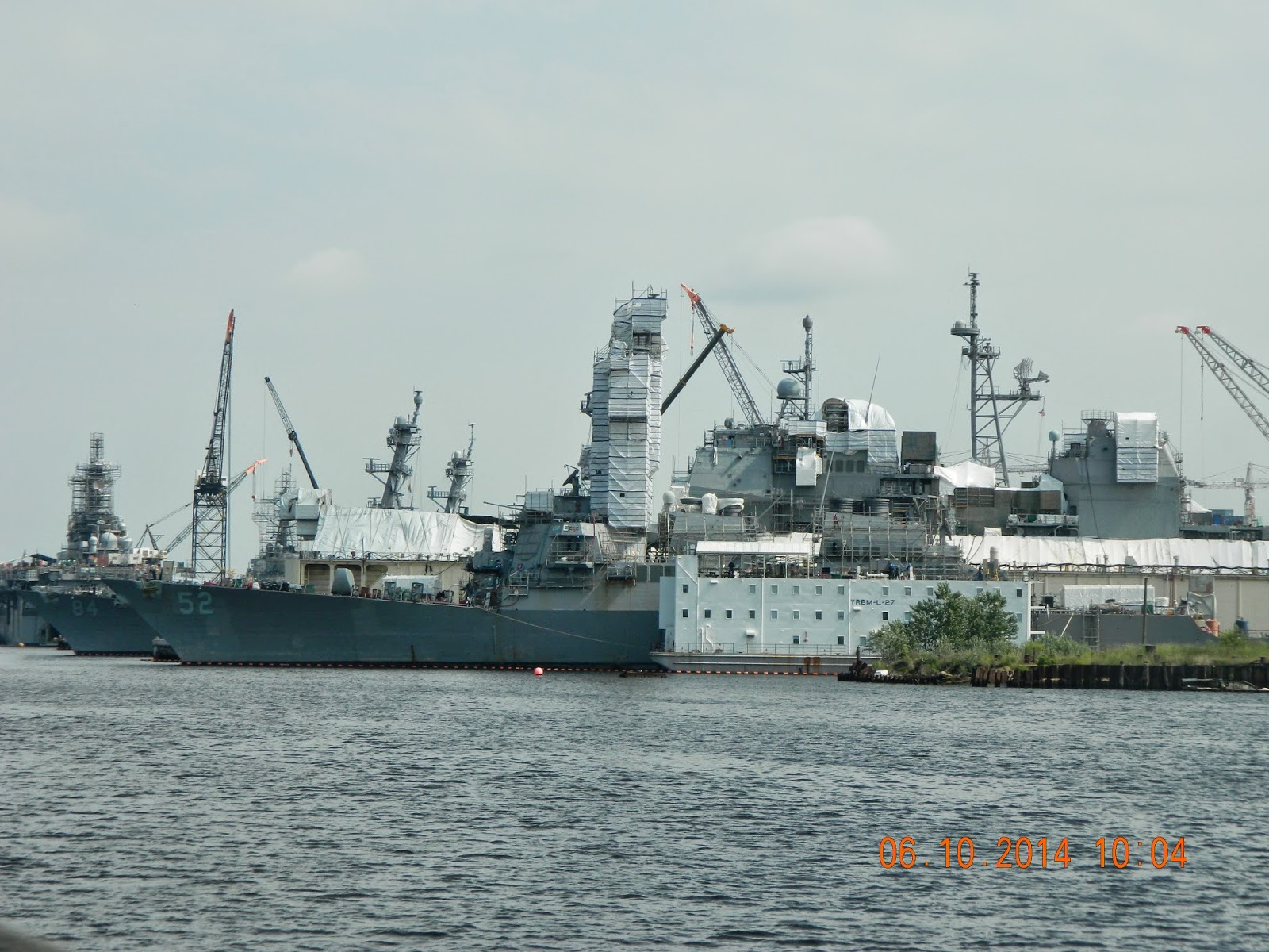 |
| Building and re-fitting ships. |
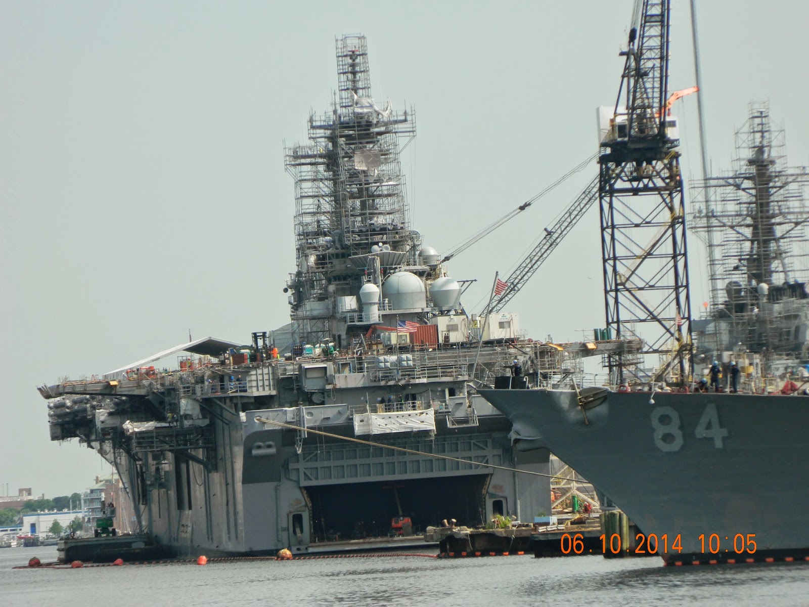 |
| A marine assault ship |
 |
| Stealth?? |
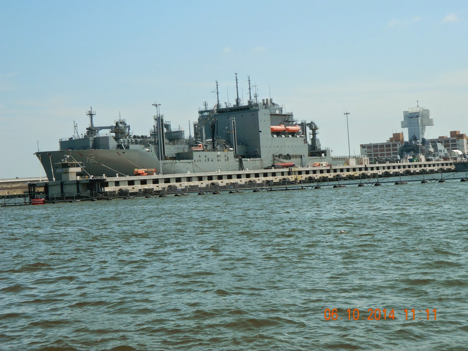 |
| Ship?? |
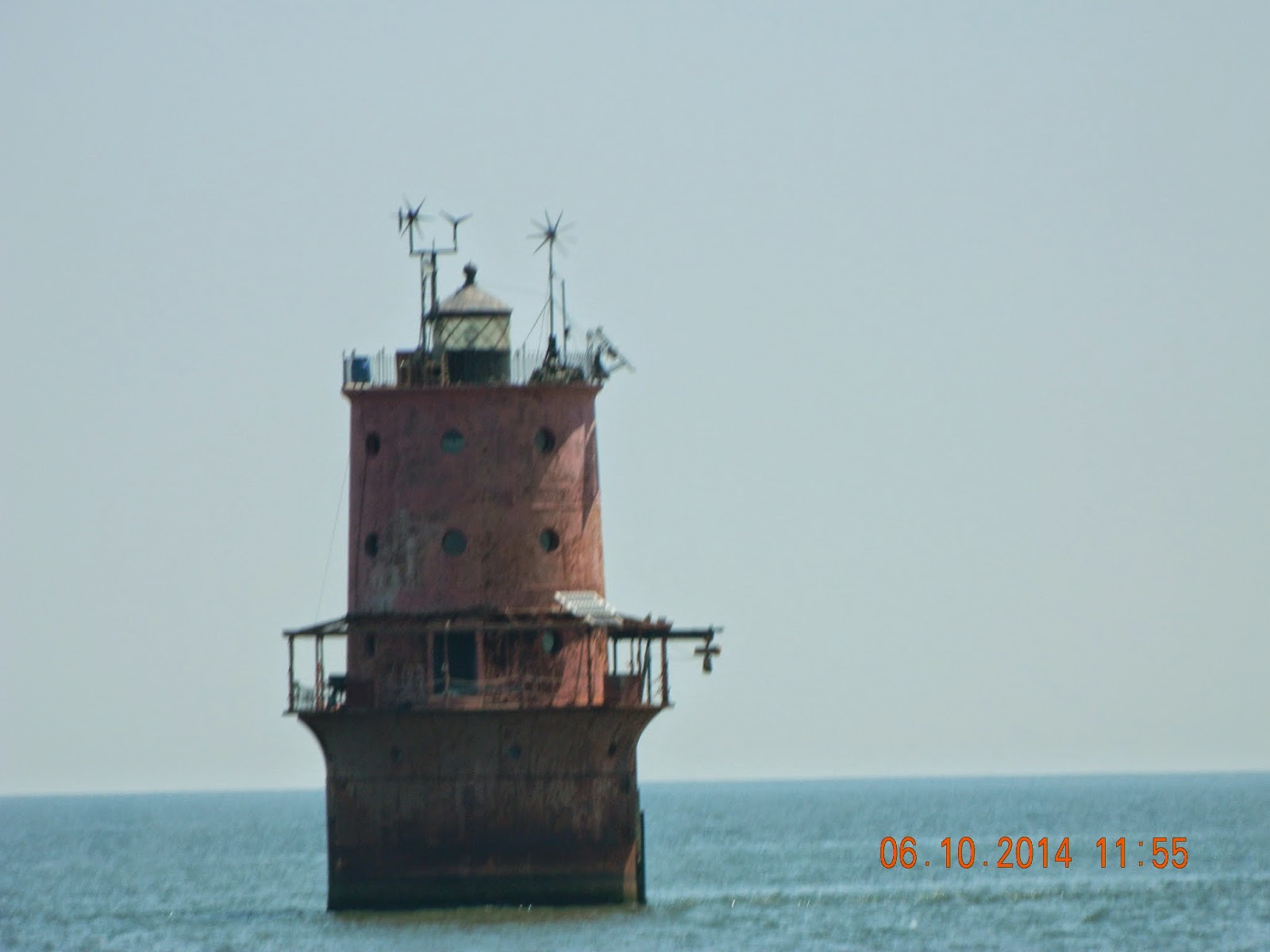 |
| Our first Bay light/marker. |
No comments:
Post a Comment